C-Map EW-Y227 Noord-West Europa
- Easy Routing™ (US excluded)
- Dynamic Raster Charts
- High-Res Satellite Imagery
- High-Res Bathy Fishing Charts/Sport Fishing Data
- 3D-View
- Custom Shaded Depths and Aerial Photos
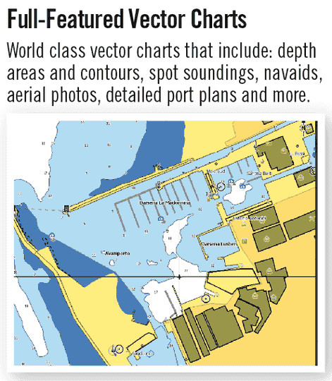
- Detailed Marina Charts
- High Resolution Bathy Data
- Dynamic Tides and Currents


